Navigating Geographic Challenges in Products - Recommended Projections

In my previous post, I discussed the basics of map projections in my series showcasing issues I've encountered in my professional work that are seemingly obscure outside the geography community. I told you to think about your customer's use case and provide what they actually need. But that isn't necessarily helpful if you aren't familiar with the hundreds of types of map projections and uses for each category. So, let's get into specifics and help your team use the right map projection(s).
Multiple global map projections
First, don't be afraid to use more than one map projection. If your product has multiple maps or focuses on multiple geographic areas, consider having multiple projections. Whether that's a toggle allowing the user to adjust the map projection on-the-fly or the ability to select the projection for them based on geographic extent.
Viewing or editing?
The answer to this question indicates whether you have technically-focused users or casual users. For technical users, treat them to a map projection that's more useful and specific to their needs.
Geographic extent
If your customers are only using the map for a particular geographic extent or area, adjust the projection to fit that specific location. Each continent, most countries, and many states/territories have map projections that are specific to them. You can provide your customers with a beautifully-tailored experience by using these.
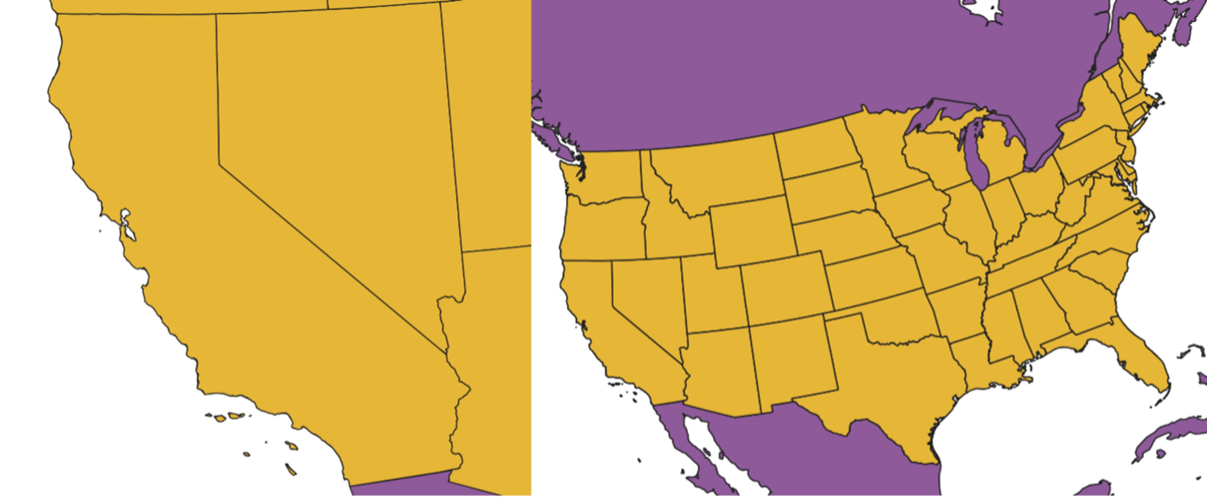
Here’s a pro tip: limit the extent the user can pan the map when using a projection specific to a geography. This will prevent them from trying to access the map in areas where the projection isn't intended for use.
All U.S. states, like California, have an NAD 1983 State Plane projection that can be used. Europe's Lambert Conformal Conic projection keeps the continent from being spread too wide. Each polar region uses an azimuthal equidistant projection - which you would recognize from the UN's flag.
Industry specific
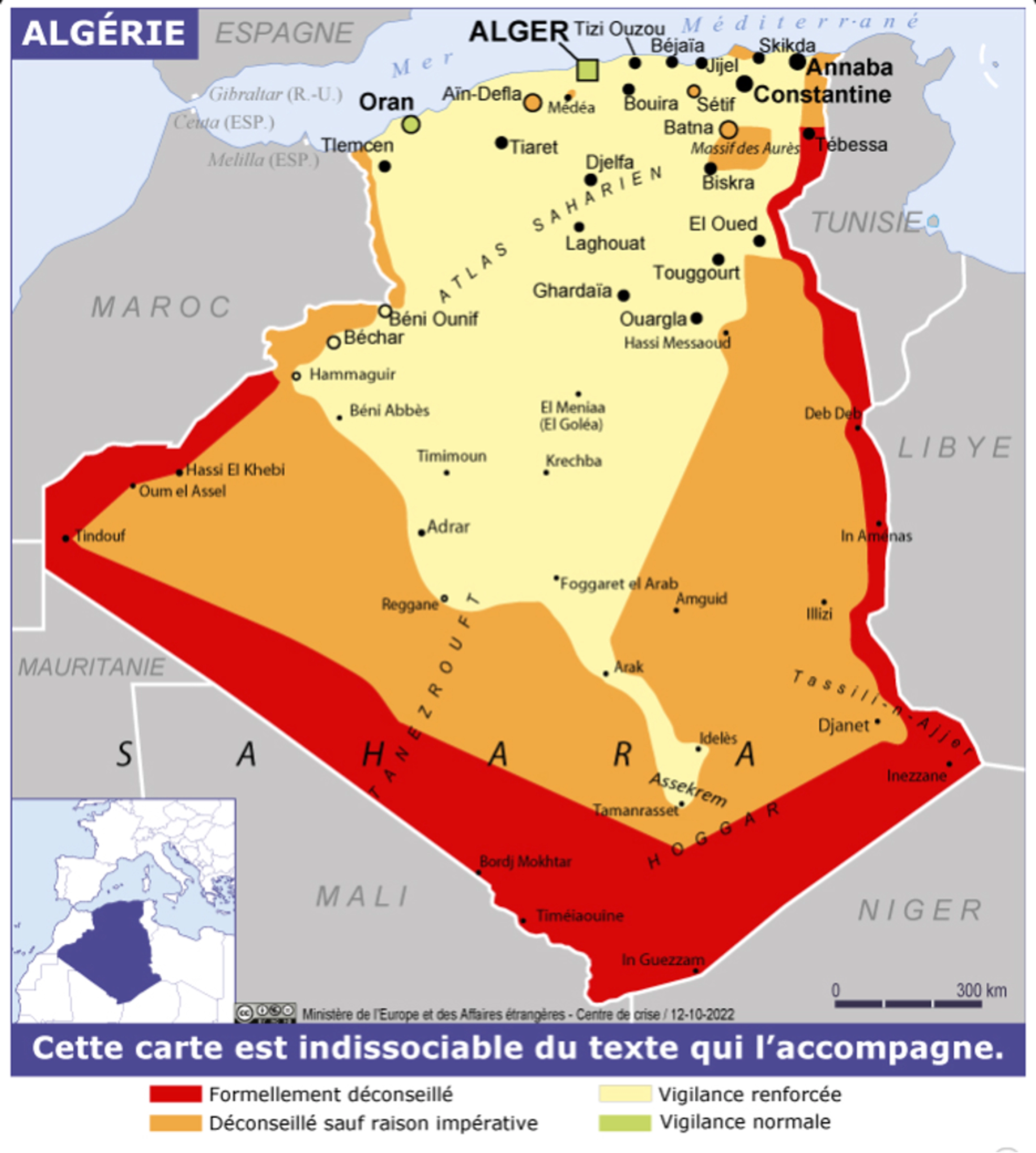
If your audience is the general public, no one is going to fault you for using the Web Mercator. But if you are creating a product that's industry-specific — maritime, security, oil and gas, etc., —be aware of any different types of map projections they do or do not use. For example, French geopolitical maps, including those in the security industry, use the Bertain projection. Robinson projections are used in atlases and may be a good choice if you don't have an industry-specific global map projection and don't want the Web Mercator.
The examples here provide you with two different options — select a map projection that meets your customer’s expectations or select a projection that meets their needs. These are not always the same so use your use cases to guide you.