Navigating Geographic Challenges in Products with a Spotlight on Projections
Welcome to the first post in a series I created to showcase issues I've frequently discussed in my professional work that are seemingly obscure outside the geography community. These are map projection topics that impact the feasibility and timeline of the products you're trying to create and improve. As a product manager, you need to find ways to communicate these issues to your stakeholders or continue your education while working on a digital map product.
What is a map projection?
Simply, it’s a mathematical transformation of a 3D globe to a 2D plane.
But what does that have to do with your digital map product? Let's explore a bit deeper.
Properties of a map and distortion
There are 5 properties displayed on a map: shape ?, direction ?, bearing ➡️, area ?, and distance ?. Due to the nature of the transformations, not all the map's properties can be preserved when moving from a globe (3D) to a plane (2D). The distortion you find acceptable depends on your map's intended use.
This is the crux of where your product is impacted. You need someone who understands what your product's intended use is to select the appropriate world map projection for success.
For example, does your product require the selection of polar regions? If so, any map that distorts those points into lines — as the most popular map projections like Web Mercator do — is not the right choice for your product.
Types (classifications) of map projections
Now we're getting into the nitty-gritty of geometry and math but bear with me...
Projections can be azimuthal, conic (or pseudoconic), cylindrical (or pseudocylindrical), hybrid, or polyhedral i.e., what shape it makes. From there, a projection is defined by the metric it preserves: conformal (preserves angles), equal-area (preserves area), equidistant (preserves distance), gnomonic (latitude lines as circles), retroazimuthal (direction), and compromise (doesn’t preserve anything but balances all distortions).
Why did I have you read that? The current trend pushes for most map displays used for public information to utilize compromise projections. The Cartographic and Geographic Information Society (CaGIS) recommends avoiding the use of any rectangular projection altogether. You'll need to use critical thinking to determine if the compromise projections are right for your product, or if you should think outside the box and have your product stand apart by using map projections that are the best fit for your use cases.
Common global map projections
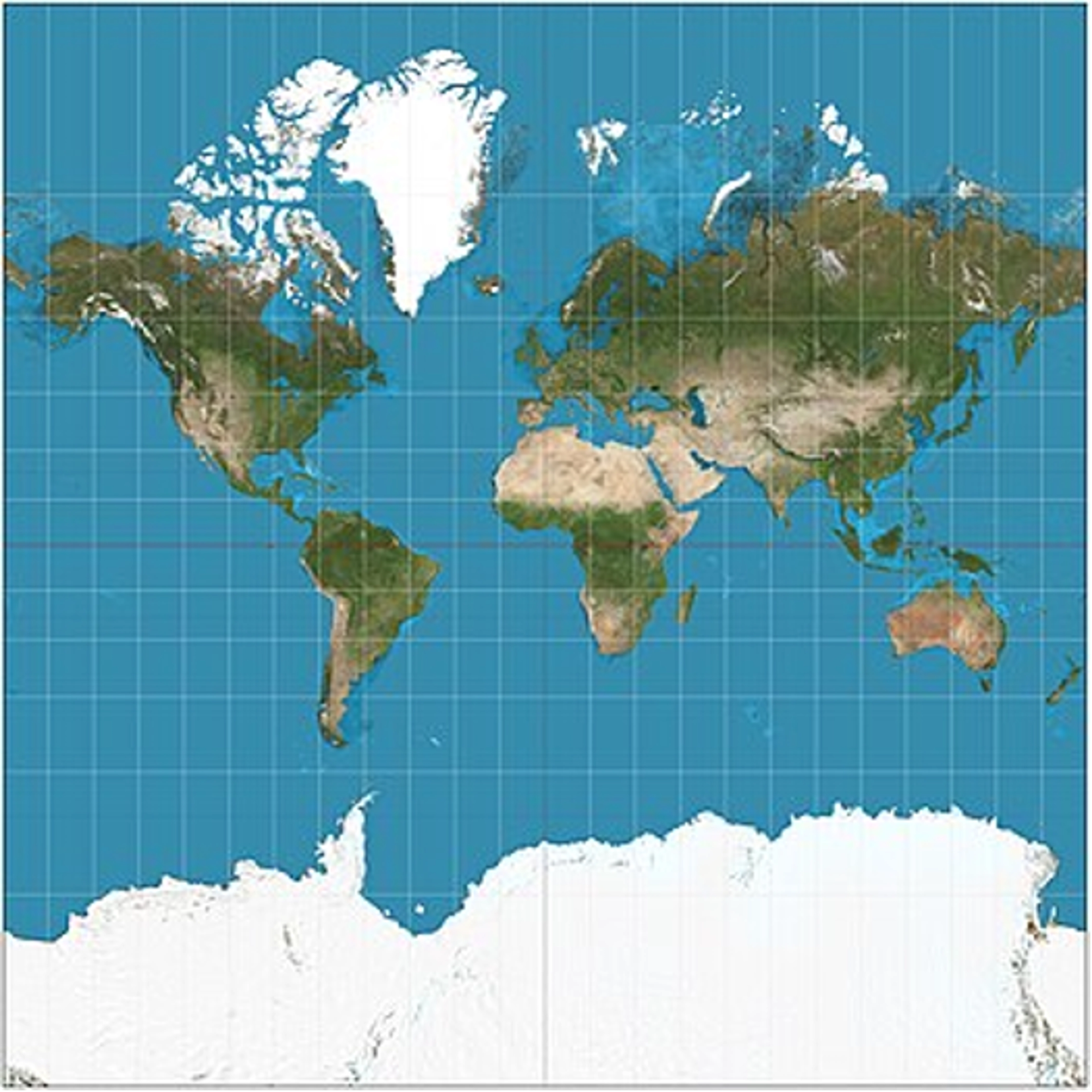
Mercator:This is the projection the geography community is actively pushing against and it's been a multi-decade fight.
The list of various institutions asking to avoid this projection includes the North American Cartographic Information Society (NACIS), the American Association of Geographers (AAG), and the Cartographic and Geographic Information Society (CaGIS).
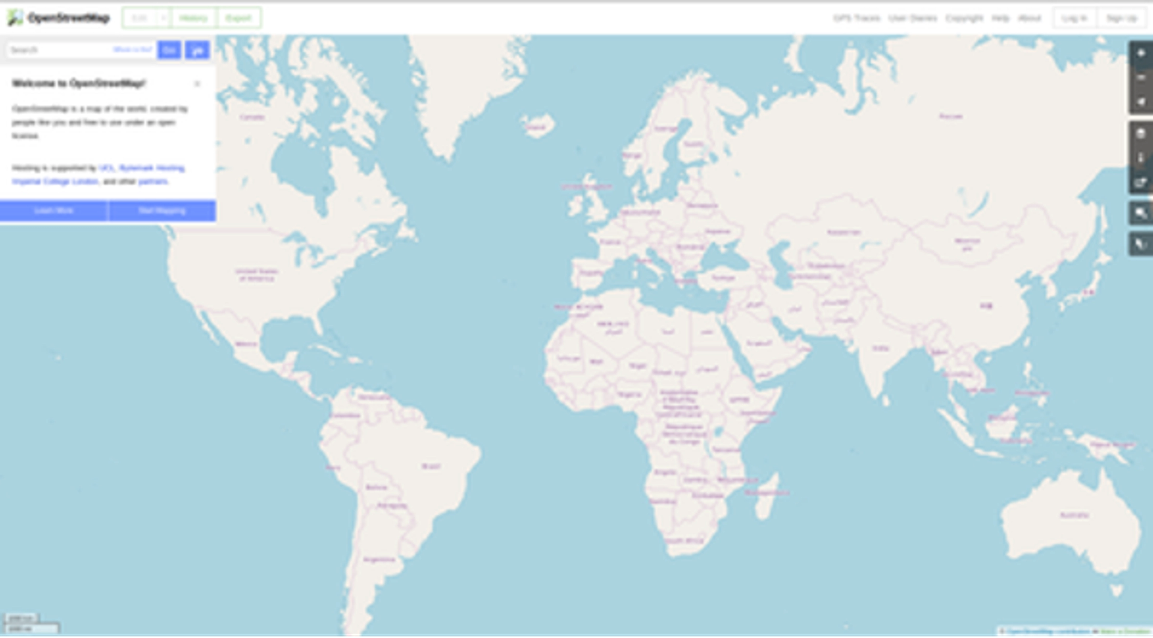
Web Mercator:This is the global map projection you see all day in digital products - but I challenge you, is it the one your customers need?
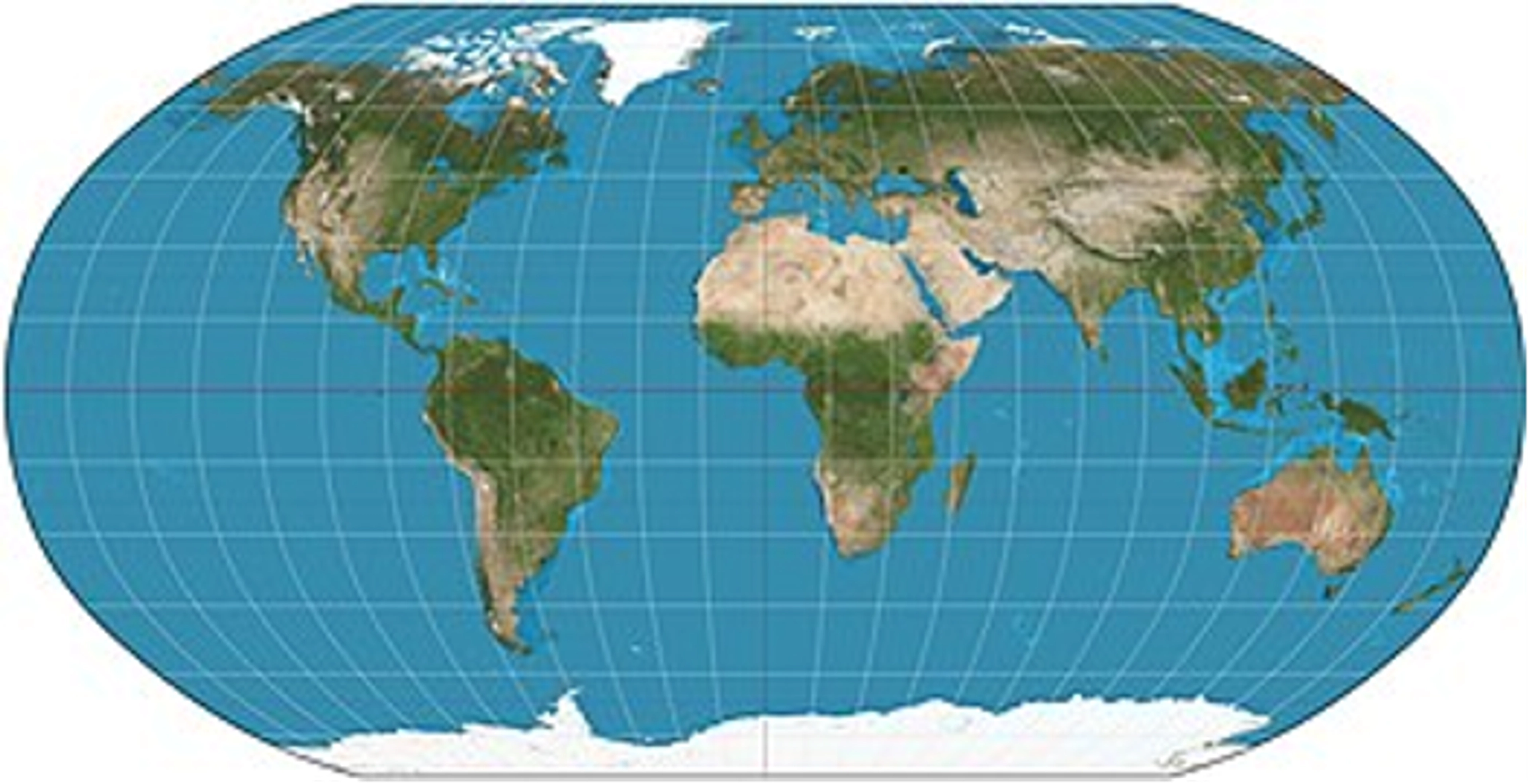
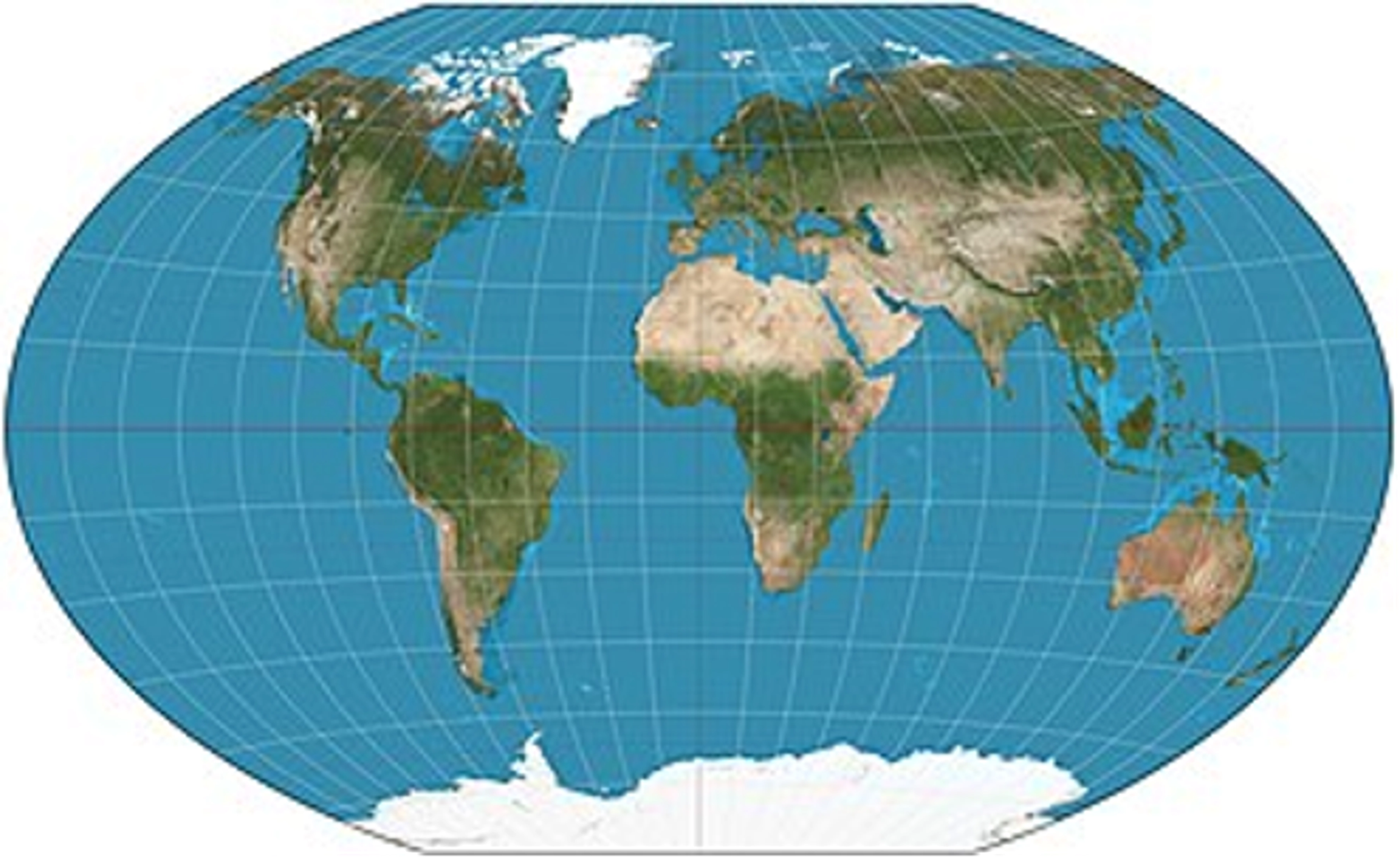
Robinson:Projections like Robinson are where many products that require global coverage should be moving towards.
Winkel tripel:Let's be honest, it's the best-named thing you've seen all day. It's so fun to say. But like Robinson, it’s the sort of global-coverage, compromise projection you may be looking for.
Further Exploration
Interactive Album of Map Projections - a site that lets you see how the world looks in certain projections with gridlines, distortion eclipses, and more
Projection Wizard - a site that lets you see what a map would look like in different projections for various extents
The True Size - a site that lets you drag countries around to see how the Mercator projection distorts them
XKCD Map Projections - an amusing comic featuring projections
How to Lie with Maps - an oldie but a goodie, this book the shows how (not) to use projections, colors, and more
View Map Projections - a site dedicated to archiving examples of each projection, you can filter on group and property
List of map projections - sometimes you just want to look through a list, so here’s Wikipedia’s list of map projections
Author's note: why do so many of my links go to Wikipedia and not academic sources? It's one of the most accessible tools out there for anyone trying to learn something new that isn't behind a paywall and allows users to navigate smoothly between linked concepts for self-guided learning. Plus, the geography community is very active on Wikipedia and keeps the articles up-to-date, controversies included.